


Le matériel utilisé par nos géomètres
Présentation générale des moyens techniques
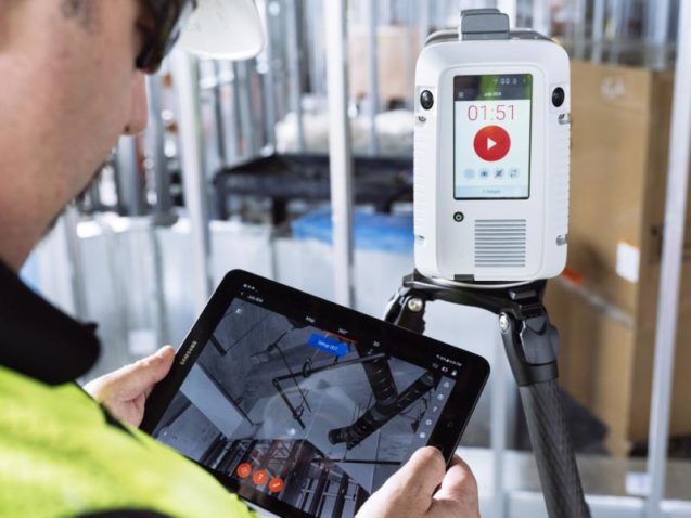
SCANNER LEICA RTC 360
Cliquez pour en savoir +
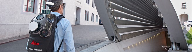
LEICA BACK PACK
Cliquez pour en savoir +
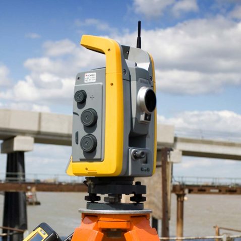
2 STATIONS TOTALES ROBOTIQUES
Cliquez pour en savoir +
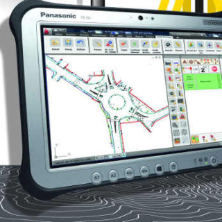
1 TABLETTE ATLOG
Cliquez pour en savoir +
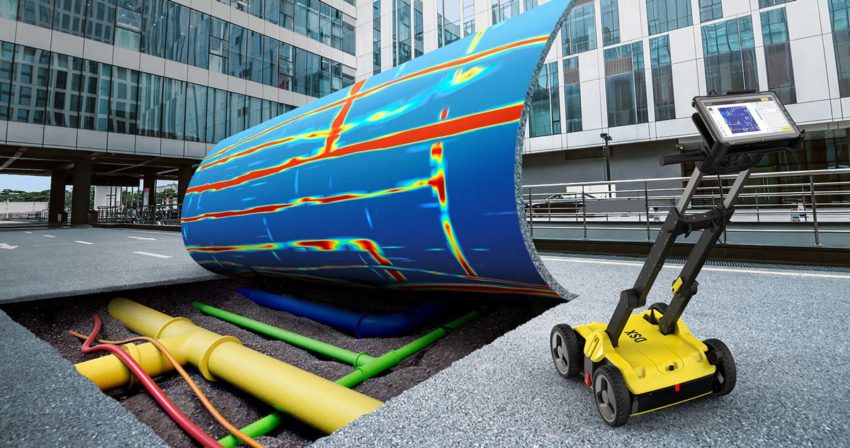
1 DÉTECTEUR DE CÂBLES RADIODÉTECTION RD7000+
Cliquez pour en savoir +
2 NIVEAUX DE PRÉCISION
Cliquez pour en savoir +
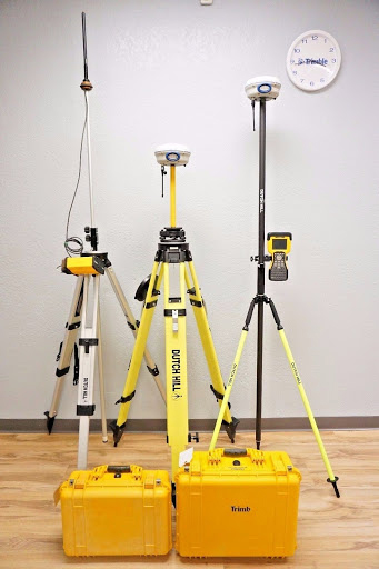
2 STATIONS GPS
Cliquez pour en savoir +
AUTRES ÉQUIPEMENTS
Cliquez pour en savoir +
Présentation générale des moyens informatiques
Parc informatique
- 4 ordinateurs PC fixes
Chaque poste fixe de notre parc informatique est de capacité suffisante pour traiter tous types de données 3D. Chaque poste fixe est équipé de 2 écrans pour optimiser la productivité. - 2 ordinateurs PC portable DELL
- 1 copieur SHARP MX5070
- 1 Traceur Canon TM300 format A0
- 1 serveur de données pour la sauvegarde et l’archive des dossiers (2 sauvegardes physiques + 1 sauvegarde virtuelle - Cloud)


Logiciels de DAO
- 2 Licences AUTOCAD
- 1 Licence COVADIS
- 1 Licence ZWCAD
- 1 Licence RD12
- 1 Licence Trimble RealWorks (logiciel pour scanner FARO FOCUS 3D)
- 1 Licence Leica Cyclone Register (logiciel pour scanner LEICA RTC360)
- 1 Licence Leica Pegasus Manager (logiciel pour LEICA BACKPACK)


Vous souhaitez faire appel à nous ?
N'hésitez pas à nous contacter